Projects

View all projects

Media Gallery

UTILITY LOCATING
UTILITY LOCATING GPR Image of Fiber Optic Lines (Direct Burial)
CONCRETE SLAB SURVEYS
CONCRETE SLAB SURVEYS GPR and EMI Locating Conduits in and below SLABS
BEDROCK DEPTH AND TOPOGRAPHY
UTILITY LOCATING
UTILITY LOCATING GPR Image of Plastic Drain Lines
CONCRETE SLAB SURVEYS
CONCRETE SLAB SURVEYS CONDUIT SURVEYS in/below CONCRETE SLABS
BOREHOLE and MONITORING WELL CLEARANCES
View Media Gallery

Information

Founded In: 1996
Minority Business Enterprise

Our Story

Read More

RADAR SOLUTIONS INTERNATIONAL, INC is a Massachusetts-based WBE/DBE certified firm, providing the highest quality, advanced geophysical services to archaeological, environmental, engineering, construction and infrastructure clientele and to government and communities (NAICS Codes 541360, 541330).

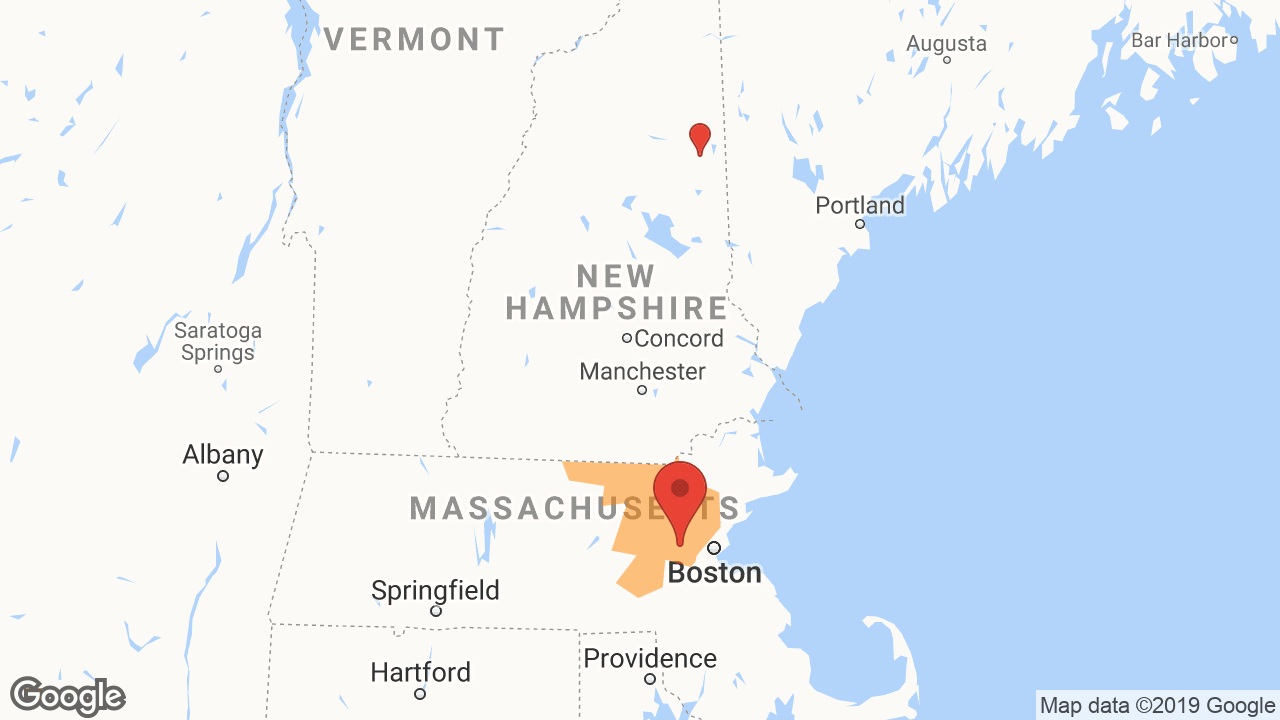
    With our state-of-the art GPR and other geophysical equipment and software processing packages, RSI is able to accurately image underground utilities, USTs, and other targets then present them as a final deliverable (maps) in AutoCAD, ARCGIS, Acrobat PDF, and Google Earth formats. We serve all of the United States, mostly within New England and New York regions, with offices in Waltham, MA and Albany, NH.  As our name implies, we also travel to provide GPR Services and Consulting/Training, as well as other techniques internationally.  Please contact us regarding our services or how geophysics can be used to solve a particular problem.

    President and Senior Geophysicist Doria Kutrubes, M.Sc Geophysical Engineering, has been designing and implementing GPR and Geophysical surveys for over 30 years, helping clients solve challenging problems. Ms. Kutrubes' expertise in ground penetrating radar applications are recognized both nationally and internationally. Her collaborations with experts from related disciplines have developed techniques to accurately image bedrock, bridge footings and much more by combining GPR and other geophysical methods.  Recently, Ms. Kutrubes completed assignments on two FHWA TRB SHRP II Initiatives, serving on the board to develop tool box approaches for mapping Concrete Deterioration and Buried Utilities.

    RSI's collective geophysical experience, and use of state-of-the-art equipment and interpretive programs, allow us to do advanced geophysical imaging of the subsurface, including locating underground storage tanks (UST's), utilities, toxic/hazardous waste, contamination plumes, structural reinforcement in manmade materials, deterioration in concrete pavements, bridge decks, and other infrastructure, voiding,and archaeological remains.  Please feel free to contact us with any questions regarding using geophysics to increase productivity, and lower cost and liability for your projects.

    We proudly use GSSI radar equipment and currently own 5 GPR systems, including the newest GSSI SIR 4000 system.

Other people also viewed...

Loading...

What We Do

Products/Services Relating to Underground Utility Location, GPR
Products/Services Relating to Infrared Inspection Service
Products/Services Relating to M.W.B.E.--Sewer-Watermain-Utilities

Project Experience

Labor:
Non-Union Prevailing Wages (Davis Bacon)
Service Sector:
Public Private
Project Types:
Service Work/Repairs
Commercial
Airport Runway
Laboratory
Bridge
Civil & Site Development
Dams & Levies
Education (K-12)
Fire / Police Station
Gas Station
Golf Course
Hospital / Nursing Home
Hotel / Motel
Industrial Maintenance
House
Manufacturing Plant
Apartments & Condominiums
City / Town Hall
Office Building
Marine
Pre-Manufactured Structures
Power Generation & Distribution
Terminal - Airport / Bus / Railroad
Church / Synagogue
Retail Store
Restaurant
Road / Highway
Utilities
Sewage / Water Treatment Plant
Jail / Prison
Theme Park
Arena / Stadium
Parking Garage
Library
Museum
Club House / Community Center
Casinos
Mixed Use
Historic Preservation
Secure and Shielded Facilities
Storage Facility / Warehouse
Grocery Stores
Theater
Assisted Living
Renewable Energy
Data Centers - Mission Critical
Lighting Retrofits
Auto Dealership / Service
Bank
Misc Project
Non-Building Construction
Athletic Field
Parking Lots
Swimming Pool
Tunnel
Non-Residential Building
Animal Hospital / Kennel
Court House
Fitness Center
Medical Office
Post Office
Radio / Television Station
Residential Building
Tract Housing
Military

Service Areas

Regions:
New England
Maine, Vermont
New York City, Long Island and Hudson Valley
Connecticut and Western Mass.
Counties Serviced:

Preferred Brands & Manufacturers

GSSI (Geophysical Survey Systems Inc.)
Trimble
Trimble
Geonics
Geonics

Associations & Memberships

Member of DIGSAFE DIGSAFE
Member of SDO (Supplier Diversity Office) SDO (Supplier Diversity Office)
Member of DBE (Disadvantaged Business Enterprise) DBE (Disadvantaged Business Enterprise)
Member of EEGS (Environmental & Engineering Geophysical Society) EEGS (Environmental & Engineering Geophysical Society)
Member of SBA (Small Business Administration) SBA (Small Business Administration)
Member of SEG (Society of Exploration Geophysicists) SEG (Society of Exploration Geophysicists)
Member of WBE (Women's Business Enterprise) WBE (Women's Business Enterprise)
Stay Connected: