APS Survey & Mapping
Bellevue, WA 98005
Featured Project Return to Projects List
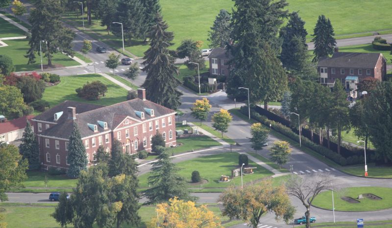
Ft. Lewis/McChord Project
Project Information
- Project Location:
- Joint Base Lewis-McChord, WA
- Approx Contract:
- $200,000
- Status:
- Completed
- Structure Type:
- Government
References
- Owner:
- APS
- Client:
- Corps of Engineers
Scope Of Work
Ft. Lewis/McChord Project, Washington State. This is an excellent example of the recent changes in mapping requirements. This job encompassed a set of five projects, including 19 independent sites totaling 228-acres, for the Corps of Engineers in 2010. As part of our indefinite delivery contract, APS was given notice-to-proceed in early October with a delivery date on or before the end of the year. Even with five crews working overtime, it was a stretch to complete mapping in 3D detailed CADD drawing containing all the utilities (surface and subsurface), trees, buildings, roads, sidewalks, water and fuel tanks, detention ponds, signage and a myriad of other improvements; in a three month period. Our approach required project management at its best. We decided that it would be expedient to have Aerometric Inc. fly the sites during the same time thus reducing the cost of aerial mapping. We also prepared preliminary maps for Applied Professional Services, Inc., to aid in their subsurface utility locates. We mobilized our crews to set up aerial control panels for Aerometric Inc. and mapping limits for the utility locators. APS also set control using GPS fast static methods for each site. At this point we could release Aerometric to fly the flight lines to cover all 19 sites. In order to increase our field output, we used two-person crews with each crewmember managing a fully robotic Leica 1201 total station. Though not quite doubling the crew output it did significantly increase production. For some of the utilities and building parapets we returned to standing behind the instrument to remotely collect tops of poles, insulators, and catenaries. All the improvements such as building footprints, curbs, striping, sidewalks, and drainage were surveyed with line-work, so they would come into the CADD file fully elevated and under the correct level or layer. This was also true of all the points and symbols. At the end of the day the crews would as-built any manholes, catch basins, and cleanouts (getting pipe size, direction, type, and inverts), along with the rim and bottom of the structures. Each day the crews would download their collectors and make copies of the field books. Every object that was observed was reduced and inserted into a day-file and also inserted into an overall project raw file. Our CADD technicians took these raw files with the line-work, symbols, and points fully elevated, added them to the previous day’s work, and begin the artful practice of creating a true 3D CADD drawing. As Aerometric completed each site, they would send it to APS. This mapping enable us to (1) QA/QC our drawings and assumptions, (2) insert break-lines and contours below our spot elevations, and (3) expand our topography fifty feet beyond our site to better illustrate drainage. By the end of the year, as required, we delivered all 19 sites to the Army Corps of Engineers, in 3D, in their levels, and in their CADD format. Date: October 2010 through December 2010.