APS Survey & Mapping
Bellevue, WA 98005
Featured Project Return to Projects List
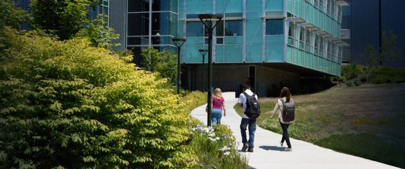
Bellevue College
Project Information
- Project Location:
- Bellevue, WA
- Approx Contract:
- $20,000
- Status:
- Completed
- Structure Type:
- School / College / University
References
- Owner:
- APS
- Client:
- State of Washington, Department of General Administration
Scope Of Work
Bellevue College, Bellevue Washington. In August 2011, the State of Washington, Department of General Administration issued APS Survey & Mapping a task order as part of our "on-call" contract to provide three dimensional (3-D) mapping on an approximately one-acre site for the expansion of the Bellevue College Bookstore and the Science Building. In order to create a scope of work, APS consulted with their project engineers, architects and other consultants. Our mission was to provide the survey information needed to solve design issues for this particular project. Our first order of business was to develop the scope, budget and timeframe for this project. The Project Mangers knew there were significant underground utilities in the area. We contacted Applied Professional Services, an underground utility locating company, that we a have a close working relationship with to provide a scope, schedule and estimate for locating the underground utilities. We included their locating plan as a subconsultant in our final scope of services. When the College and their consultants were satisfied with the scope, they issued a notice to proceed with the mapping. We began by having Applied Professional Services mark the extensive underground utility network. Applied Professional Services had to enter confined spaces, use probes and other untraditional methods not associated with most mapping projects. Our field crew started working on the survey control network, establishing fixed points that control the coordinate system used the duration of the project. We combined traditional ground based survey methods with RTK VRS survey (using state of the art Trimble R8 units), in conjunction with the Washington State Reference Network (WSRN) to tie our control network to the City of Bellevue survey control network. Tying our survey to the City's control network allowed City Planners to insert our survey work into their GIS system seamlessly. During this time, we also began research for record drawings from Bellevue College and the City of Bellevue Utilities Department for utility information. We used the record data combined with our field investigation to show the underground utilities in the final drawing. Field data was processed daily using Autodesk Land Desktop Companion and Civil3D software. This software package allowed data processing, completion, and quality analysis. As with most projects at APS, we became a member of a much larger project team. Using the systems and procedures we have in place this mapping project was completed on time and on budget. Our goal was to eliminate surprises that often come up during the design and building phase of a project. The quality of this survey combined with its timeliness helped the consultants involved to complete their expansion successfully.