
Advanced Geological Services, Inc.
Malvern, PA 19355
Featured Project Return to Projects List
Combined Geophysical Techniques used for Aggregate Quarry Siting and Development
Project Information
- Project Location:
- PA
- Status:
- Completed
- Structure Type:
- Misc Project
Scope Of Work
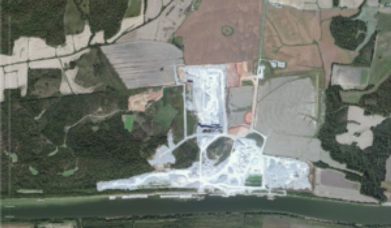
A new limestone aggregate quarry was planned along the bank of the Cumberland River in western Kentucky. Prior to opening the quarry a detailed understanding of subsurface conditions were needed to properly design and plan quarry operations to ensure long term operational and economic viability.
Challenge:
The proposed quarry location was situated adjacent to the Cumberland River which was to be used to transport mined aggregate off site via barges. Geologically, the site was located in a well developed karst limestone area within the Moore Hill Fault System. The documented major faults in the area are normal faults that are part of a northeast to southwest trending horst and graben system, with several faults present within the proposed quarry area. Soil borings indicated that overburden thickness ranged from approximately 20 feet to more than 60 feet in thickness, and that strongly weathered karst features were present throughout portions of the property.
The objectives were:
Determine overburden thickness to allow planning for soil removal and exposure of the target bedrock quarrying surface,
Identify large scale karst features that inhibit quarrying activities by opening potential areas of potential voids, or unstable and weathered bedrock, and
Map bedrock fractures and faults so the mining engineer could properly plan to avoid major faults from intersecting the sidewalls of the quarry and to allow siting of de-watering wells allowing for long term quarry production.
Solution:
An integrated approach using the 2-dimensional electrical resistivity imaging (ERI) method, the very-low frequency (VLF) electromagnetic (EM) method, and the seismic refraction geophysical method was used allowing integration of geologic data, soil boring information and geophysical data into a complete characterization of subsurface conditions throughout the anticipated depth of quarry operations (approximately 150 deep).
During AGS’s initial visit to the site, prior to the start of quarrying operations, a total of 5,000 linear feet of seismic refraction and ERI data were collected along six intersecting traverses to tie together information from test borings and allow development of a model of subsurface conditions.
Over the course of several years, as the quarry was developed and expanded, AGS revisited the site to collect additional ERI, seismic refraction and VLF data. The additional data was integrated into pre-existing information and used for continued operation planning and development by the mining engineer.
Results:
The geophysical data were modeled to provide 2-dimensional images of resistivity, current density, and velocity. These parameters were then used to indicate bedrock integrity, bedrock fracture/fault locations, overburden thickness, and locations of potential karst features. Identified penetrative features observed in the combined geophysical data sets successfully identified faults and fractures that were used for siting de-watering wells, and general quarry layout. ERI and seismic refraction models determined the overburden thickness and competence of the bedrock. High velocity and resistivity bedrock indicated the presence of un-weathered bedrock that is most profitable for high quality aggregate.
The integrated geophysical approach used at this site allowed this property to become one of the largest and most successful limestone aggregate quarry operations in western Kentucky. AGS was able to work closely with the mining engineer to provide meaningful, real-world geophysical information that was used for quarry design from the pre-quarry phase through continual development and expansion stage, and day-to-day operations of the site.
Project Images


